Where we walk
Ha Giang, Sa Pa and Pu Luong: what the landscape is, how many nights it deserves, and which parts of each have already been spoiled.
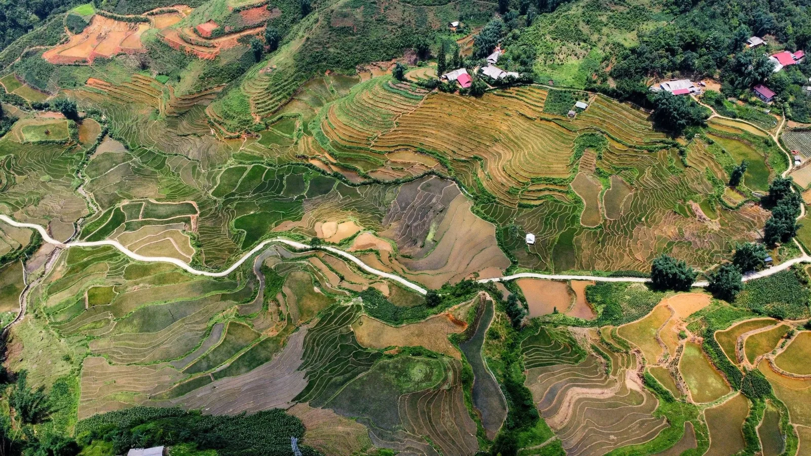
Three regions, compared
These pages are about the places, not about our trips. If you have already decided to walk, the treks page is the more useful one.
| Region | Drive from Hanoi | Nights worth staying | Best months | Landscape |
|---|---|---|---|---|
| Ha Giang | 6 h 15 m | 4 to 6 | Sep to early Dec, Mar to May | Bare grey limestone, thousand-metre gorges |
| Sa Pa | 5 h 30 m | 3 to 4 | Mar to May, mid-Sep to Nov | Terraced valleys under a 3,000 m ridge |
| Pu Luong | 4 h | 2 to 3 | Late Sep to Dec, Feb to May | Limestone reserve, waterwheels, low terraces |
We do not have a page for Mai Chau, Ba Be, Cao Bang or Y Ty. All four are good and we have walked in all four; we write pages for places we sell treks in, and a page about a place we do not go is a page written to catch search traffic.
How to pick between them
The one to choose if you only come once
The landscape has no equivalent elsewhere in Vietnam: a limestone plateau with almost no soil, farmed in pockets between rocks, cut by the Nho Que gorge. The cost is thirteen hours in a vehicle. The region page.
The one with the best village nights
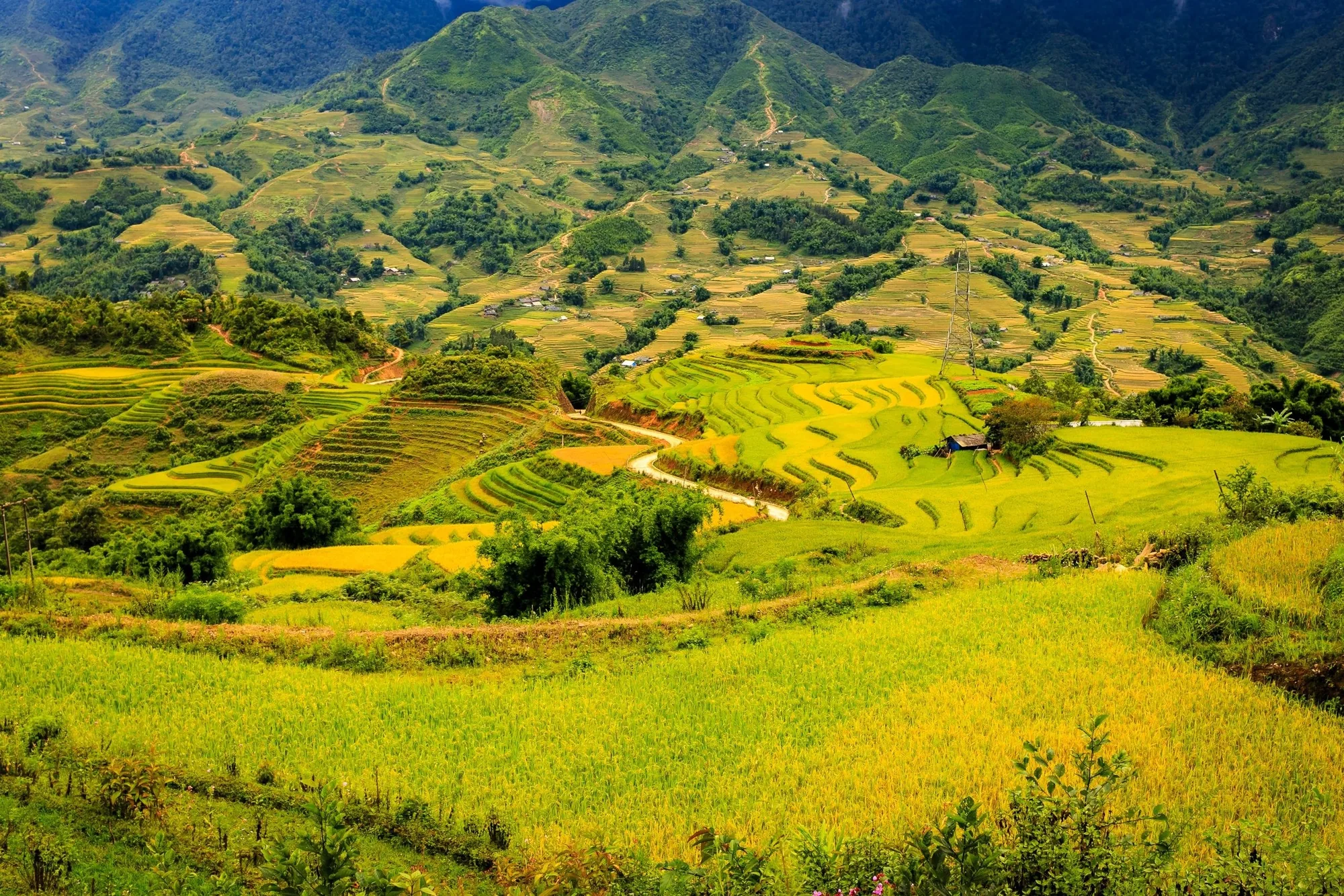
Three valleys, three ethnic groups, terraces from the stream to the cloud. The town is a building site and should be treated as a car park with restaurants. The region page.
The one that fits into a short trip
Four hours from Hanoi, gentle, and genuinely pretty rather than dramatic. Now busy at weekends with Hanoian visitors and lodge developments. The region page.
A note on province names
Vietnam merged its provinces in July 2025 and the map you may have seen is out of date. Ha Giang province no longer exists: the plateau is now the northern part of Tuyen Quang province. Lao Cai absorbed Yen Bai, so Sa Pa is still in Lao Cai. Thanh Hoa was not merged, so Pu Luong is where it was. In the south, Lam Dong absorbed Binh Thuan and Dak Nong, which puts both ends of the Ta Nang crossing inside one province.
None of this changes anything you will see on the ground, and nobody locally has changed what they call the place. It matters for two practical reasons: permits are now issued under the new province name, and older travel writing about “crossing from Lam Dong into Binh Thuan” describes a border that is no longer there.
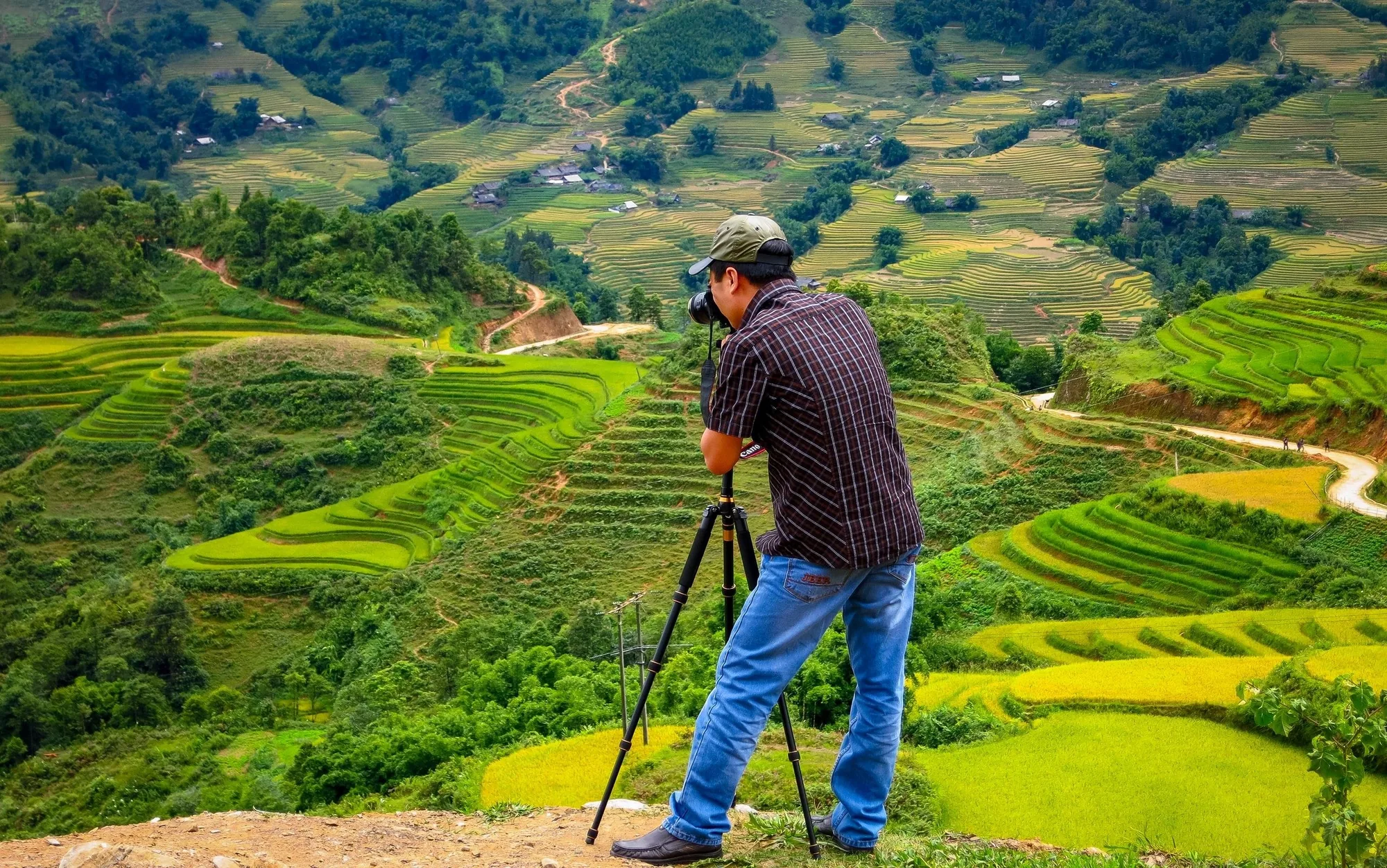
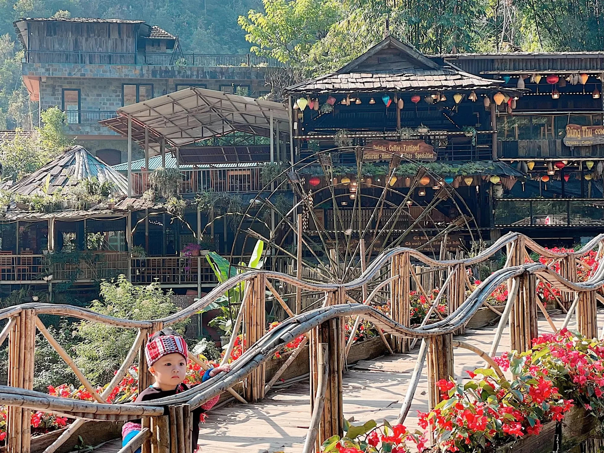
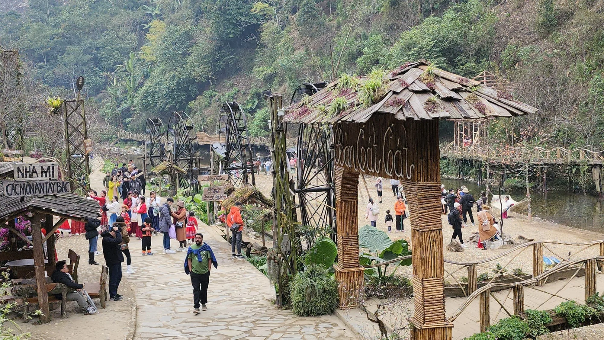
Pictures from the three regions
Questions travellers ask most
Which region is best in a particular month?
That is the whole subject of the when-to-go page, which has a month-by-month table. The short version: late September and October are the best weeks of the year in all three, and July and August are the worst.
Can I visit a region without booking a trek?
Of course, and for Sa Pa and Pu Luong it is easy: public buses and shared vans run daily and homestays take direct bookings. Ha Giang is harder to do independently on foot because of the border permit and because the good paths are not marked.
Are these regions safe to walk alone?
Physically, mostly yes; the risks are weather, unfenced drops and dogs rather than people. Navigationally, no: the paths are unmarked farm and market routes that fork constantly, offline maps are inaccurate above the valley floors, and there is no signal in the places where getting lost matters.
Read next
Tell us about the trek you have in mind
Dates, party size and the places you care about are enough to start. You get a draft route and an indicative price, not a brochure.