Ta Nang to Phan Dung
The hardest route we sell. Fifty-five kilometres in three days with two nights camping, from the pine edge above Da Lat down to the dry forest behind the coast. Dry season only.
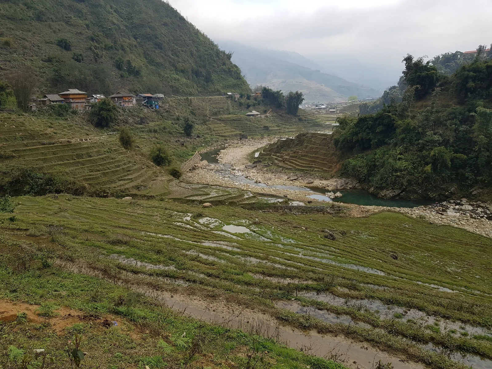
At a glance
- Duration
- 3 days, 2 nights camping
- Walking
- 55 km over 3 days
- Group
- Maximum 12
- Starts
- Da Lat
- Ends
- Phan Thiet or Mui Ne
- From
- USD 340 per person
The stream crossings on days two and three drain a large catchment and rise fast in the south-west monsoon. People have drowned on this route in the wet season. We sell it from December to March, we will consider November and April on the forecast, and we say no the rest of the year regardless of what you are willing to pay.
Who this route is for
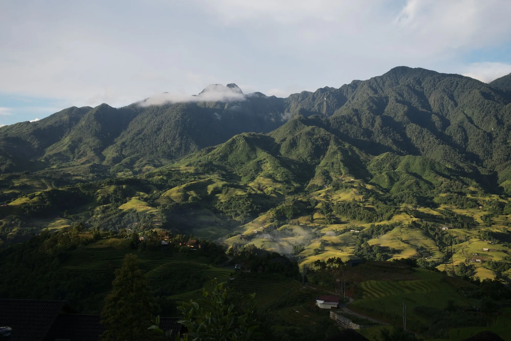
Ta Nang to Phan Dung is the best-known long walk in Vietnam among Vietnamese hikers and almost unknown to visitors. It crosses from the highland edge in the west, where pine gives way to open grass ridges at about 1,100 m, down to the dry deciduous forest behind the coast. Both ends now sit inside Lam Dong province, which absorbed Binh Thuan in the 2025 provincial merger, so the old description of it as a walk between two provinces is out of date.
What makes it hard is not any single climb. It is fifty-five kilometres in three days while carrying your own sleeping bag, mat, clothes and water, with no village, no shop and no road in the middle two days. Total pack weight is between nine and eleven kilograms. Phone signal is intermittent on the ridge and absent in the valleys.
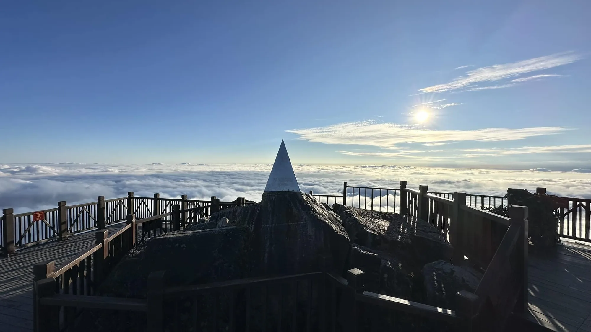
What makes it worth it is the second morning. You wake on open grass at 1,100 m with cloud filling the valleys below and nothing built in any direction, and you walk on that ridge for four hours before the ground starts to fall towards the sea.
Day by day
Da Lat to the ridge camp
Leave Da Lat at 06:00 for the two-and-a-quarter-hour drive south-west to the Ta Nang trailhead, about 95 km. We weigh packs at the vehicle and redistribute the group gear before anyone starts walking, which takes twenty minutes and prevents most of the problems that show up later.
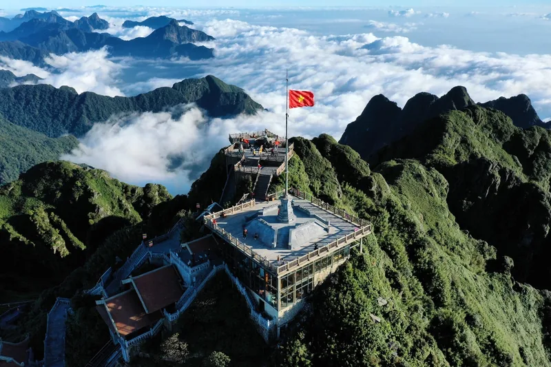
Fifteen kilometres and 600 m of ascent through pine and then out onto grass. You fill water at the last reliable stream about three kilometres before camp and carry three litres each up to the ridge. Camp is on open ground at about 1,100 m with no shelter, which is why we only run this in the dry months.
The long ridge, then down to the stream
Twenty-two kilometres, the longest day on any route we sell. The first four hours run along the top with the grassland falling away on both sides and the pine confined to the gullies. There is no shade for most of it and no water at all until the descent.
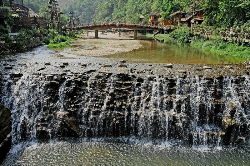
In the afternoon the route drops through dry forest to the Ma Hoi stream at about 600 m, 700 m of climbing and 900 m of descent across the day. Camp is beside running water, which after seven hours without any is the point. We site the tents well above the stream bed, on ground that has never flooded in the years we have used it.
Out through Phan Dung to the coast
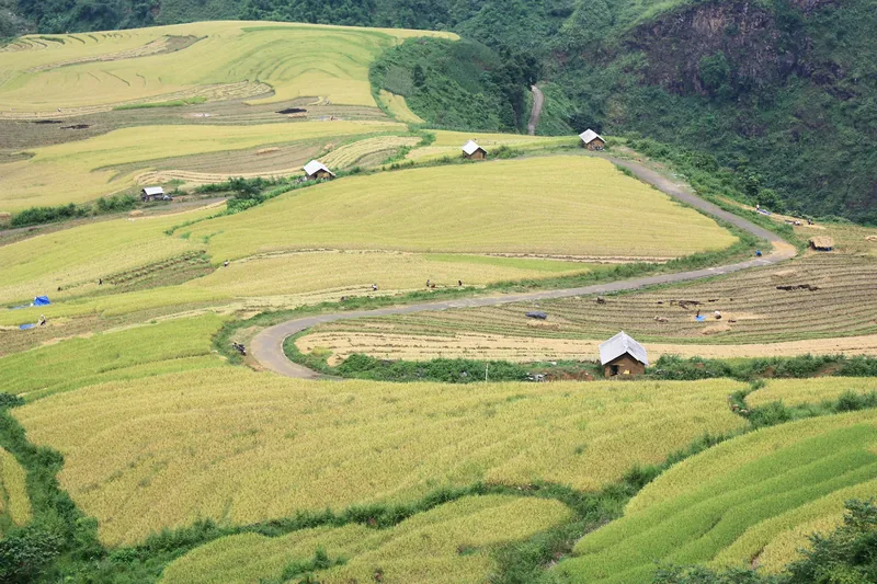
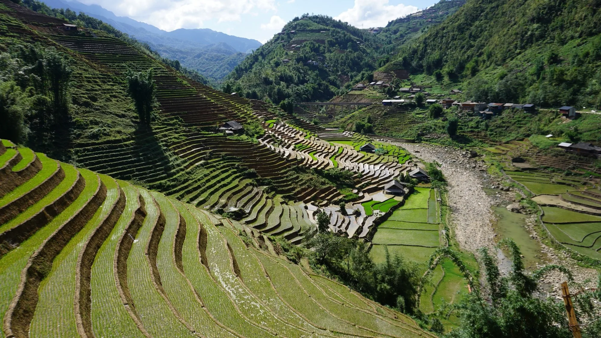
Eighteen kilometres of mostly gentle descent through dry deciduous forest, with three stream crossings that are ankle to knee deep in the dry season. The forest here is leafless in February and March, which sounds bleak and is in fact the most photogenic part of the walk.
The vehicle meets you at Phan Dung village at about 14:00. From there it is two hours to Phan Thiet or Mui Ne, where most people stay a night on the coast. We can also run you back to Da Lat in three and a half hours if that suits your onward plan better.
Prices
| Party size | Private trek, per person | Set-departure group, per person |
|---|---|---|
| 1 walker | USD 1,180 | Not offered |
| 2 walkers | USD 690 | Not offered |
| 3 - 4 | USD 470 | USD 390 |
| 5 - 8 | USD 380 | USD 355 |
| 9 - 12 | USD 340 | USD 340 |
Why we will not run it for one or two. On a route with two nights out, no road and intermittent signal, a single injured walker needs two people to stay with them and one to go for help. Below four paying walkers we would need to send two staff, and at that point the price stops making sense for either of us.
What the price includes
- Two nights of camping: tent, sleeping mat and a bag rated to 10 degrees, all provided
- Vehicle Da Lat to the trailhead and Phan Dung to Phan Thiet, Mui Ne or back to Da Lat
- A trekking guide plus a second guide or porter from four walkers upward
- All meals from day one lunch to day three lunch, cooked at camp
- Group cooking kit, water treatment and a satellite messenger carried by the guide
- Forest protection unit permits for the crossing
What it does not include
- International and domestic flights, and the Da Lat flight or bus to reach the start
- Accommodation in Da Lat before the trek and on the coast afterwards
- Travel insurance, which for this route must explicitly cover multi-day trekking with camping and helicopter evacuation
- Personal walking gear: boots, waterproof, head torch, two water bottles
- Tips for the guide and the porters
Pictures
Who this trek is not for
- Anyone who has not carried a pack for a full day before. Ten kilograms is not much until hour six of day two, and there is nowhere to put it down.
- Walkers who need a toilet. There is none for two days; the guide carries a trowel and explains the drill on the first morning.
- Anyone travelling between June and October. We do not run it and we will not be talked into it.
- Parties with anyone under sixteen, or anyone whose knees are unhappy on long descents. Day three is eighteen kilometres of downhill.
- Travellers who want photographs of villages and people. There are none in the middle two days. This route is landscape only, and that is either the attraction or the problem.
Questions travellers ask most
How bad is the water situation on day two?
Real. You leave camp with three litres each and there is no reliable source until the descent, roughly seven hours later. In December and January that is manageable. In April, when the ridge is hot by nine in the morning, it is the single thing most likely to end someone's day, and it is why we prefer the December to March window.
Can we do it in two days instead of three?
Fit Vietnamese hiking groups do it in two, at roughly 28 km a day. We will run it privately in two for a party who has already walked with us and whose pace we know. We will not sell a two-day version to someone we have never met, because the failure mode is being on the ridge in the dark with no water.
What is the camping equipment like?
Two-person tents with a full flysheet, inflatable mats and synthetic bags rated to about 10 degrees, all provided and all carried by you. Nights on the ridge in January drop to 12 or 13 degrees, so bring a fleece and a hat. You bring your own boots, waterproof shell, head torch and bottles.
Is it really the best trek in Vietnam?
It is the one Vietnamese hikers name first, and for landscape over three continuous days we agree with them. It is not the one we recommend to most visitors, because most visitors want villages, food and beds, and this route deliberately has none of those in the middle. Read the Ha Giang page before you choose.
Read next
Tell us about the trek you have in mind
Dates, party size and the places you care about are enough to start. You get a draft route and an indicative price, not a brochure.